GPS Fields Area Measurement
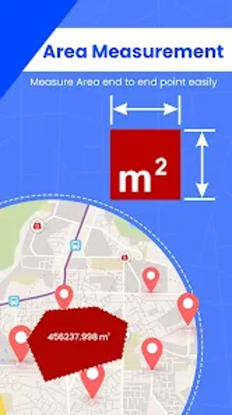
GPS Fields Area Measurement is an app designed for accurate distance and area measurements. Whether you're a farmer, land surveyor, or property owner, this tool allows you to easily calculate field or land area using GPS points on a map. With features like measuring distance, displaying point-to-point distances, and real-time location tracking, this app ensures precise and reliable measurements for any outdoor space.
The app goes beyond basic area measurement by offering real-time location sharing and a distance calculator, making it a versatile tool for collaboration, planning, and outdoor activities. From land surveys to sports track measurements, this app caters to a wide range of users, including farmers, construction surveyors, town planners, and landscape artists.